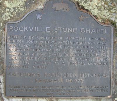
California State Historical Landmark #779
See this location on Yahoo Maps in Flickr
See this location on Google Maps
This landmark is located in the Rockville Cemetery on Suisun Valley Road, 0.2 mile north of Rockville, California. There are 13 other California State Historical Landmarks in Solano County. The GPS coordinates for this location are N 38° 14.829 W 122° 07.273.
You can log your visit to this landmark at waymark.com.


Erected by pioneers of Methodist Episcopal Church South with volunteer labor and donated funds. Cornerstone laid October 3, 1856. Dedicated February 1857. Site supplied by Landy and Sarah Alford. Chapel deteriorated by 1929 and deeded by the church to Rockville Public Cemetery District as a pioneer monument. Restored in 1940.
No comments:
Post a Comment