California State Historical Landmark #534
See this location on Yahoo Maps in Flickr
See this location on Google Maps
This landmark is located off Pena Adobe Road interchange on I-80, Northeast 0.5 mi on Pena Adobe Road in Pena Adobe Park, Vacaville , California. There are 13 other California State Historical Landmarks in Solano County. The GPS coordinates for this location are N 38° 20.195 W 122° 00.888.
You can log your visit to this landmark at waymark.com.
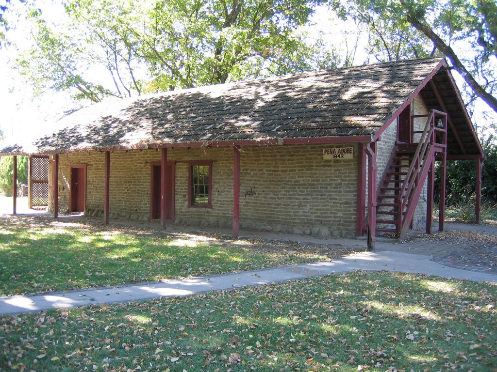
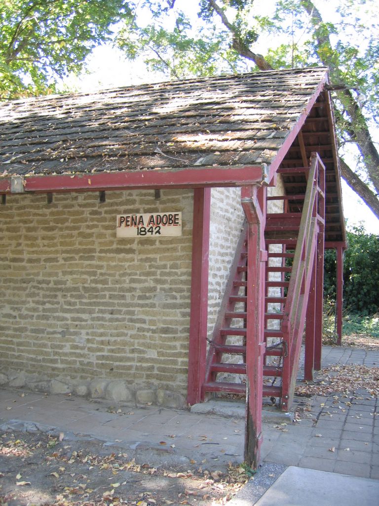

This is the site of Rancho Los Putos, of 10 square leagues, granted in 1845 by Governor Pio Pico to Juan Felipe Pena and Manuel Cabeza Vaca. The Pena adobe, erected here in 1842, is still owned by descendants of the Pena-Vaca families. The town of Vacaville, nearby, was established in 1851 on land sold by Vaca to William McDaniel.
No comments:
Post a Comment