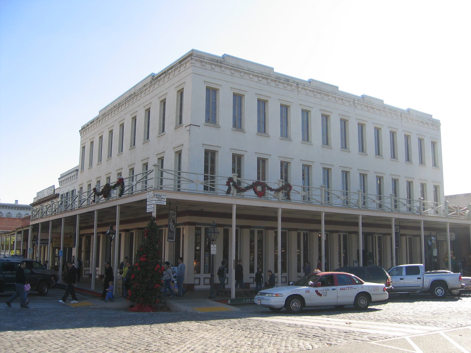
What Cheer House
California State Historical Landmark #597
See this location on Yahoo Maps in Flickr
See this location on Google Maps
This landmark is located at the southeast corner of K and Front Streets in Old Sacramento, California.
There are 57 other California State Historical Landmarks in Sacramento County. The GPS coordinates for this location are N 38° 34.939 W 121° 30.350.
You can
log your visit to this landmark at waymark.com.
The celebrated hotel was constructed on this site in 1853. State offices were located here in 1855.
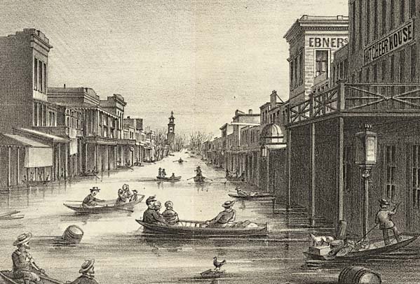
K Street during the 1862 Flood with the What Cheer House visible on the right.
No comments:
Post a Comment